Tactical Fire Information System
Wouldn't it be great to have accurate and timely data at your fingertips when you take on that next wildfire? Topographical Maps, Video Footage of the Incident, Geo-Referenced Still Images, and Data stored on CD-ROM? And near real-time images from the aircraft available to personal on the fireline or at the ICP, while the aircraft is still flying the incident? Now, you can have it all! Henderson Aviation Company has the technology and the ability to provide you with all these products and conveniences.
Overview of the Process
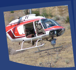
 After meeting and identifying your needs, we will fly your incident, gathering the requested data, video and still images.
Upon return, you can review both color and thermal video, as well as, geo-referenced still images in our on-site support facility.
After the data has been processed, USGS quads with your requested information imposed on them will be available.
At the completion of the incident, all video footage will be labeled and provided to you.
All maps, geo-referenced still images, and other pertinent data will be burned onto either DVD or CD for your incident archives.
And all of this takes place at your incident in our mobile on-site support facility.
 Henderson Aviation Company uses one of its Mobile Command Post (MCP) for processing and displaying the collected data, and printing images and maps.
The TFIS and MCP can be ordered together or separately. Please contact us today to learn more about these services or for ordering information.